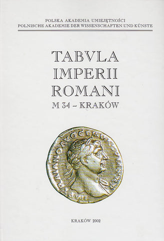
Tabula Imperii Romani. M 34 - Krakow
80,00 $
ISBN: 83-88857-36-3
Description: hardback, 596 pp. (17x24cm) + 11 maps in portfolio; 500 copies printed
Condition: very good
Weight: 1650g.
Tabula Imperii Romani. M 34 - Krakow, herausgegeben von P. Kaczanowski, U. Margos, Polnische Akademie der Wissenschaften und Kunste, Krakow 2002
Einführung
Bemerkungen über die kulturellen und ethnischen Verhältnisse
Register in den antiken Quellen erwähnten Eigennamen
Katalog
Abkürzungen
Polen
Tschechische Republik (Mähren)
Slowakei
Ukraine
Ungarn
Beilagen
Literatur
Verzeichnis der Karten
The text in German.
About the project:
The project Tabula Imperii Romani (TIR) aimed initially at the preparation of a map of the Roman Empire consisting of 56 sheets on the scale 1:1,000,000 on the hasis of the international geographical maps of the world on the same scale. The TIR project has value not only geographically, but also for the understanding of the history, archaeology and commercial links of the Ancient Roman world. The project is supplemented by the Forma Orbis Romani (FOR), which includes publications on the same subject, but on a smaller scale and published by different countries such as France (archaeological map), Italy (Forma Italiae, archaeological Map of Italy), and now Spain (archaeological map of Catalonia), etc. The sheets of the TIR project are accompanied by an index which gives necessary historical and bibliographical data for each locality shown on the maps. The project was proposed in 1928 by Crawford of the Ordnance Survey Office of London. It was to have a Permanent Council consisting of Crawford (Great Britain), Bersu (Germany), Seyrig (France) and Lugli (Italy). After the Second World War, Lugli proposed placing the TIR project under the auspices of the UAI, which was already responsible for the FOR project.
Fifteen provisional sheets were published between 1932 and the Second World War, and one sheet (Mogontiacum) in a more complete form in 1940. After the Second World War, the following sheets appeared under the auspices of different national committees : Tergeste (1961), Mediolanum (1966), Aquincum (1968), Romula (1969), Naissus (1976), Lutetia Parisiorum (1983), Carnuntum (1986) ; in 1987 came sheet N/O 30 (Britannia septentrionalis) ; in 1991-1993 there followed Porto (Spain, K 29), Madrid (K 30) and Philippi (Greece, K 35), and in 1994 the province of Judaea and Palestine.
Several sheets are at present in preparation; a number of sheets for the Near East are under discussion. The publication of national sheets in recent years has underlined the problems which arise when the projected maps override modern territorial boundaries; but collaboration has been set up for sheets K 31 and K 32.

